Map
Collection object
1988.0098
H. 19.0 x W. 8.5
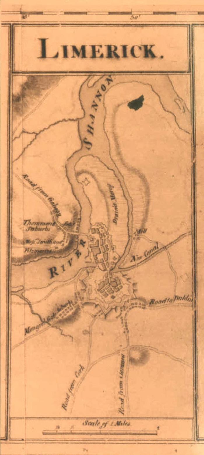
Map, photograph of, b/w. Limerick city, 1765. insert in: General Map of the South Part of Ireland ... From Observations ... in August 1765 (Compiled by Major General William Roy). Map of city and area surrounding. City defences shown in outline, also New Canal, Mill at Abbey river at Corbally side, Kings Island marked Draind Morass, Thommond Gate / Suburbs, two houses marked Messrs. Smith and / Fitzmaurice (south of Thomondgate), Mongrel (sic) Gate Suburbs, Cromwells fort shown on King's Island, King John's Castle, Franciscan Church, St. John's Church, quadrangular structure (earthwork?) east of city, midway between canal and Dublin road. Scale of 2 Miles at bottom, Photographic scale of cms at right. British Library photo, ref K. 51. 30.a.2.
Major General William Roy (compiler)