Map
Collection object
1990.0059
H. 67.3 W. 53.3
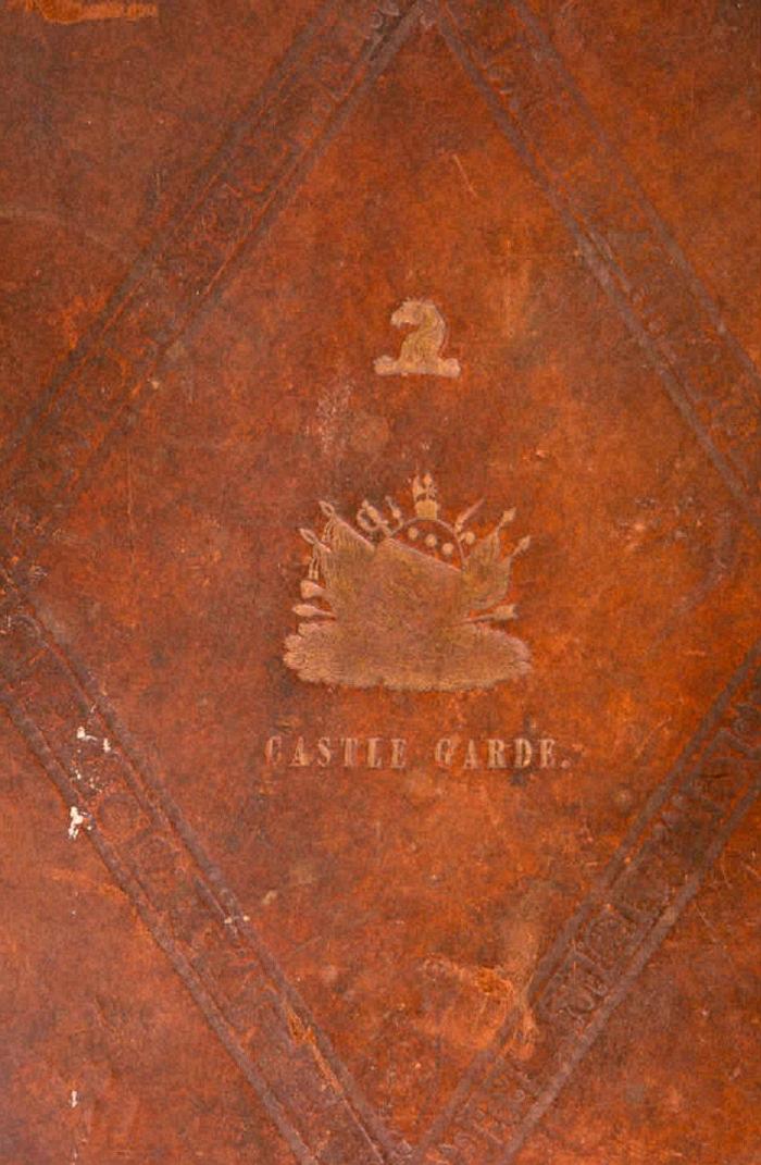
Maps; bound set of Ordnance Survey 6 inch sheets, for Co. Limerick, first edition 1841. Hand coloured boundaries and main roads. Title page inscribed in pen at bottom right "June 44", and each map is dated at bottom right through to "Nov. 26/44" on the last sheet,60; each date followed by an illegible set of initials, possibly those of the colourist. Full leather binding, with tooled leather spine, inscribed "Ordnance Survey of Ireland/ Limerick" in gold. Front cover embossed around the edges with four bands of decoration; outer a repeating oak-leaf thistle and shamrock motif; next a plain line in gold; next a repeat of the outer; inner a Greek geometrical key pattern with wavy line border. Within this frame is a central diamond shape with geometrical border and within that the inscription, in gold "Castle Garde" (Castlegarde) above which is a coat of arms, oval field surrounded by draped flags, swords and spears, with three cannon in the lower two thirds and three pellets in the remainder, the shield is surmounted with a halberd head and above that is a crest of a hoses head and neck; arms of the O'Grady family. The back cover is similarly decorated but without the inscription. The maps are in good condition but the leather binding is worn through at some corners to reveal the thick card beneath and the leather is torn at the spine. The fly leaf is torn, and a rectangular piece of corrugated cardboard box has been glued to the inside of the back cover, for no apparent reason.
