Map
Collection object
1987.0160
Map L. 49.2 x W. 40.3
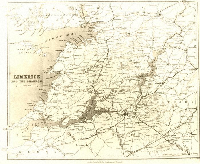
Map, photograph of, unframed. Limerick / and the Shannon (title, centre left), 1872. Map of region, from Athlone to Kerry Head, Roscrea, and Caher (sic) to Roundstone. Towns and villages, roads and railways, lakes, rivers, uplands, and the sea, Big houses, also castles. Border and frame around map. Line scale below title, Scale of miles, 0 - 5 - 10. Bottom, centre, below border and frame, London: Published by The Graphotyping Co. (Limited). Bottom, right, below border and frame, J. Bartholomew, Edin. From E.S. Cooper: Shaw's tourist's picturesque guide to Limerick ... etc. NLI neg. no. 20245, De Nais no. 533.
Graphotyping Co Ltd (published by)