Map
Collection object
2003.0236
H. 55.8 W. 74.2 Folded H. 19.4 W. 9.8
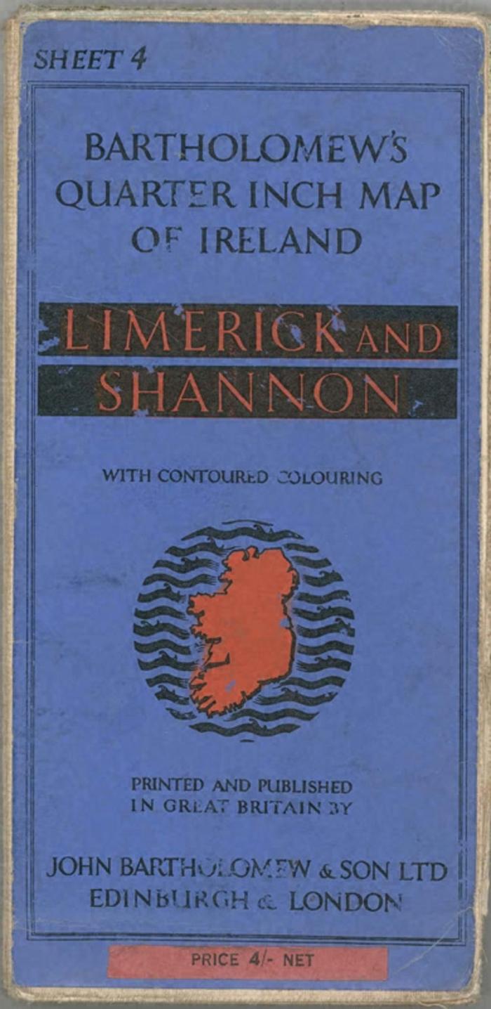
Map. Bartholomew's Quarter Inch Map of Ireland, Sheet 4, Limerick and Shannon, with Contoured Colouring, price 4shillings. Cloth mounted. Map covers from Oughterard and Athlone in the north to Charleville in the south, Cahir, Thurles and roscrea by right edge and Slyne Head at west. Roads in red and yellow, contours in shades of green and brown, rivers and sea in blue. Card covers front and back; front printed in orange blue and black; back, in black on blue, has a map of Ireland showing all the sheets with price list below.
John & Co Bartholomew (published by)